Environmental planning that keeps land and water in balance.
We operate as a paid advisory studio for landowners, community projects, and built environment teams. Our work monetises through fixed-scope assessments and ongoing stewardship retainers that translate ecological data into clear action plans.
Prefer to browse first? Read our studio field notes and see how we work with habitats across the United Kingdom.

Insights from the field, captured in magazine-style dispatches.
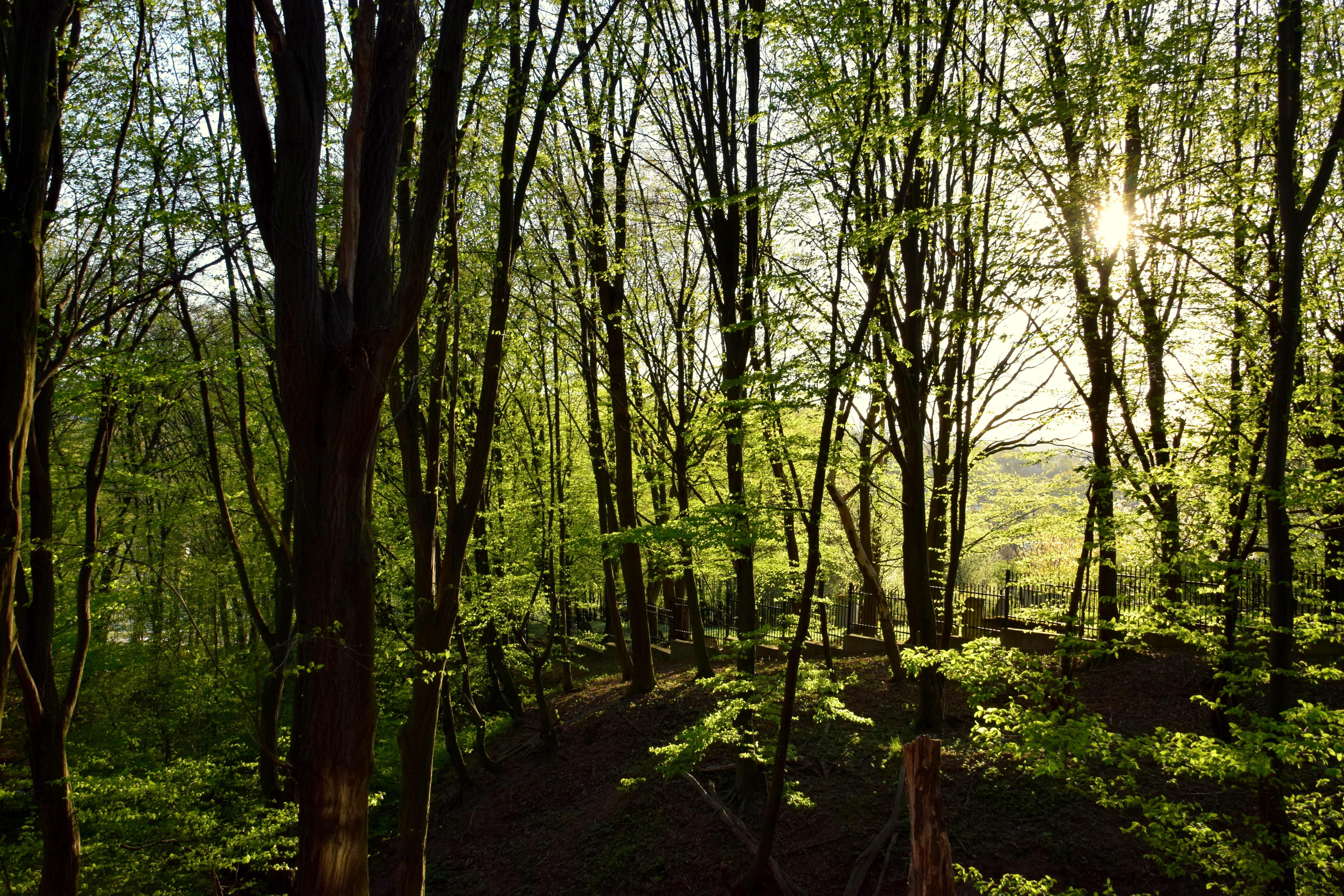
We mix visual evidence with plain-language recommendations so decisions move faster.

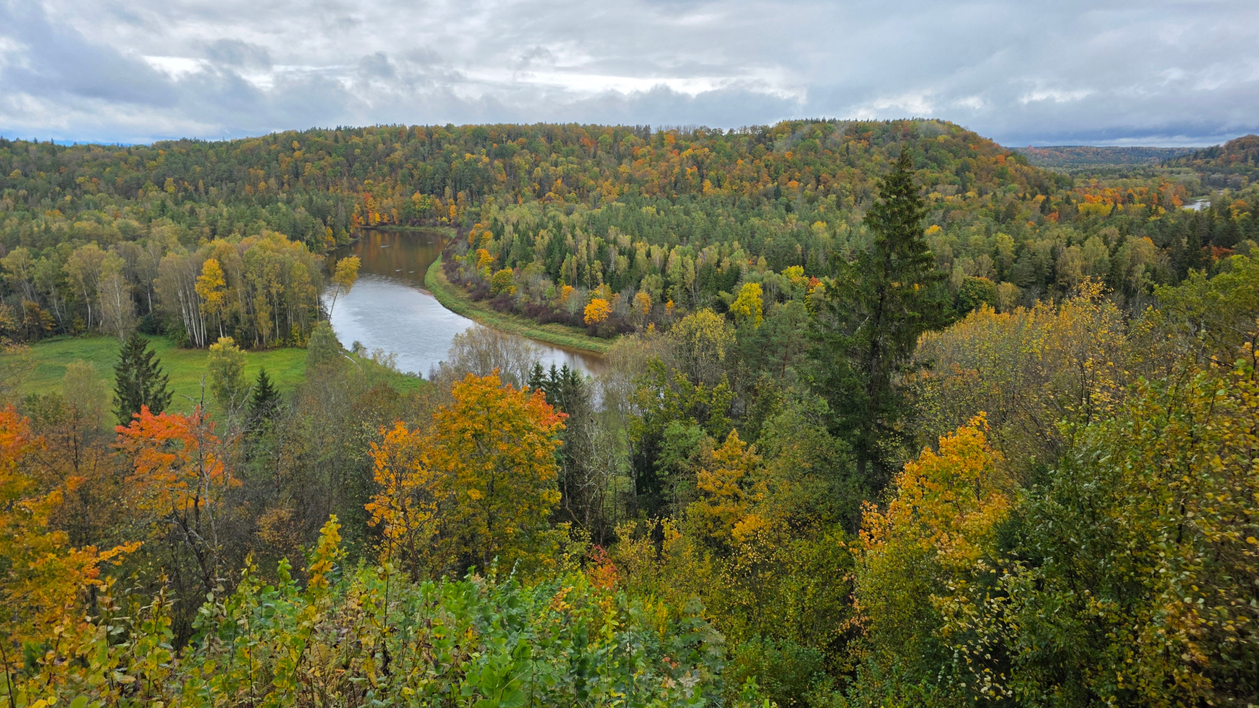
Site walks always start at water. We map flow paths, soil compaction, and buffer zones before drawing any design lines.
Explore habitat mapping packagesPlanning submissions succeed when the ecological narrative is consistent from survey to construction. Our analysts develop a single evidence pack, then partner with your team through approval.

We operate across energy, housing, and public land. Each engagement includes a paid handover summary, so your team can act with confidence.
Priority services with transparent pricing.
Every engagement is a defined scope, priced in GBP and tailored to land scale.
Baseline habitat survey
Rapid ecological baseline for planning submission and budgeting.

Biodiversity net gain plan
Measured uplift strategy with clear delivery milestones.
Watercourse impact review
Risk scoring for surface water, floodplain, and runoff management.

Stewardship monitoring retainer
Quarterly monitoring and reporting with clear action steps.
Choose a focus, then share the essentials.
Service selection comes first, followed by the quick intake form.
Selected service
Your current focus: not selected yet.
Use any “Select this service” button above to prefill the form.
Planning request form
Stewardship values, written plainly.
Our analysts charge for research, fieldwork, and scenario modelling. That revenue funds ongoing data updates, so each report builds on the last.

We work in coordination with planning teams, not in opposition, to align development outcomes with natural resilience.
Disclaimer: Information on this site supports environmental planning and is not intended for diagnosis or professional certification. Results vary by site conditions, and specialist advice should be sought before decisions.